Category Archives: Outdoor equipment
Ordnance Survey – Pembrokeshire South / De Sir Benfro Outdoor – Hiking map Ausgabe 2016
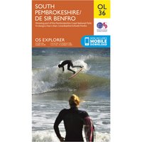
Ordnance Survey – Pembrokeshire South / De Sir Benfro Outdoor – Hiking map. Publisher: Ordnance Survey|Year: 2,016|Number of pages: 2|Scale: 1:25,000|Format: portrait|Scale: 1:25,000
Ordnance Survey – Perth / Alloa – Hiking map Ausgabe 2016
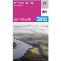
Ordnance Survey – Perth / Alloa – Hiking map. Publisher: Ordnance Survey|Year: 2,016|Number of pages: 1|Scale: 1:50,000|Format: portrait|Scale: 1:50,000
Ordnance Survey – Peterborough / Market Deeping / Chatteris – Hiking map Ausgabe 2016

Ordnance Survey – Peterborough / Market Deeping / Chatteris – Hiking map. Publisher: Ordnance Survey|Year: 2,016|Number of pages: 1|Scale: 1:50,000|Format: portrait|Scale: 1:50,000
Ordnance Survey – Pitlochry / Crieff – Hiking map Ausgabe 2016
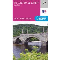
Ordnance Survey – Pitlochry / Crieff – Hiking map. Publisher: Ordnance Survey|Year: 2,016|Number of pages: 1|Scale: 1:50,000|Format: portrait|Scale: 1:50,000
Ordnance Survey – Plymouth / Launceston – Hiking map Ausgabe 2016
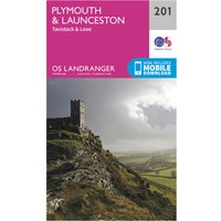
Ordnance Survey – Plymouth / Launceston – Hiking map. Publisher: Ordnance Survey|Year: 2,016|Number of pages: 1|Scale: 1:50,000|Format: portrait|Scale: 1:50,000
Ordnance Survey – Porthmadog / Dolgellau – Hiking map Ausgabe 2016
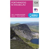
Ordnance Survey – Porthmadog / Dolgellau – Hiking map. Publisher: Ordnance Survey|Year: 2,016|Number of pages: 1|Scale: 1:50,000|Format: portrait|Scale: 1:50,000
Ordnance Survey – Presteigne / Hay-On-Wye – Hiking map Ausgabe 2016
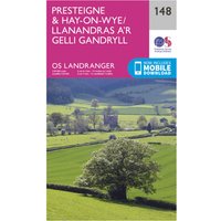
Ordnance Survey – Presteigne / Hay-On-Wye – Hiking map. Publisher: Ordnance Survey|Year: 2,016|Number of pages: 1|Scale: 1:50,000|Format: portrait|Scale: 1:50,000
Ordnance Survey – Preston / Blackpool – Hiking map Ausgabe 2016

Ordnance Survey – Preston / Blackpool – Hiking map. Publisher: Ordnance Survey|Year: 2,016|Number of pages: 1|Scale: 1:50,000|Format: portrait|Scale: 1:50,000
Ordnance Survey – Northallerton / Ripon – Hiking map Ausgabe 2017
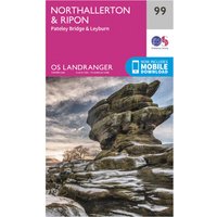
Ordnance Survey – Northallerton / Ripon – Hiking map. Publisher: Ordnance Survey|Year: 2,017|Number of pages: 1|Scale: 1:50,000|Format: portrait|Scale: 1:50,000
Ordnance Survey – Salisbury / The Plain – Hiking map Ausgabe 2017
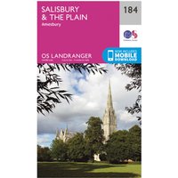
Ordnance Survey – Salisbury / The Plain – Hiking map. Publisher: Ordnance Survey|Year: 2,017|Number of pages: 1|Scale: 1:50,000|Format: portrait|Scale: 1:50,000
Ordnance Survey – Northampton / Milton Keynes – Hiking map Ausgabe 2016
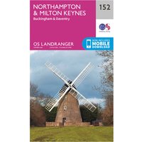
Ordnance Survey – Northampton / Milton Keynes – Hiking map. Publisher: Ordnance Survey|Year: 2,016|Number of pages: 1|Scale: 1:50,000|Format: portrait|Scale: 1:50,000
Ordnance Survey – Saxmundham / Aldeburgh – Hiking map Ausgabe 2016
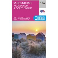
Ordnance Survey – Saxmundham / Aldeburgh – Hiking map. Publisher: Ordnance Survey|Year: 2,016|Number of pages: 1|Scale: 1:50,000|Format: portrait|Scale: 1:50,000
Ordnance Survey – Norwich / The Broads – Hiking map Ausgabe 2018

Ordnance Survey – Norwich / The Broads – Hiking map. Publisher: Ordnance Survey|Year: 2,018|Number of pages: 1|Scale: 1:50,000|Format: portrait|Scale: 1:50,000
Ordnance Survey – Scunthorpe / Gainsborough – Hiking map Ausgabe 2016
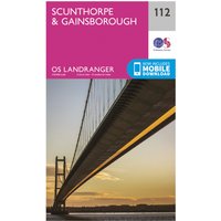
Ordnance Survey – Scunthorpe / Gainsborough – Hiking map. Publisher: Ordnance Survey|Year: 2,016|Number of pages: 1|Scale: 1:50,000|Format: portrait|Scale: 1:50,000
Ordnance Survey – Manchester – Hiking map Ausgabe 2016

Ordnance Survey – Manchester – Hiking map. Publisher: Ordnance Survey|Year: 2,016|Number of pages: 1|Scale: 1:50,000|Format: portrait|Scale: 1:50,000
Ordnance Survey – Market Weighton – Hiking map Ausgabe 2016

Ordnance Survey – Market Weighton – Hiking map. Publisher: Ordnance Survey|Year: 2,016|Number of pages: 1|Scale: 1:50,000|Format: portrait|Scale: 1:50,000
Ordnance Survey – Meon Valley, Portsmouth, Gosport & Fareham Areas Outdoor – Hiking map Ausgabe 2015
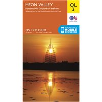
Ordnance Survey – Meon Valley, Portsmouth, Gosport & Fareham Areas Outdoor – Hiking map. Publisher: Ordnance Survey|Year: 2,015|Number of pages: 1|Scale: 1:25,000|Format: portrait|Scale: 1:25,000
Ordnance Survey – Minehead / Brendon Hills – Hiking map Ausgabe 2016

Ordnance Survey – Minehead / Brendon Hills – Hiking map. Publisher: Ordnance Survey|Year: 2,016|Number of pages: 1|Scale: 1:50,000|Format: portrait|Scale: 1:50,000
Ordnance Survey – Monaghan-Keady (Castleblayney) – Hiking map Ausgabe 2017
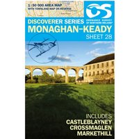
Ordnance Survey – Monaghan-Keady (Castleblayney) – Hiking map. Publisher: Ordnance Survey|Year: 2,017|Number of pages: 2|Scale: 1:50,000|Format: portrait|Scale: 1:50,000
Ordnance Survey – Nairn / Forres – Hiking map Ausgabe 2016
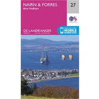
Ordnance Survey – Nairn / Forres – Hiking map. Publisher: Ordnance Survey|Year: 2,016|Number of pages: 1|Scale: 1:50,000|Format: portrait|Scale: 1:50,000